
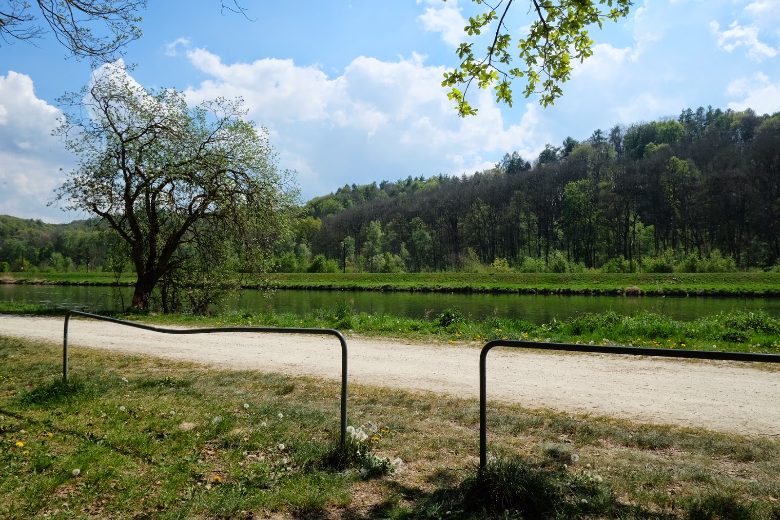
I rode from Ulm toward Donauwörth. This is mostly along the Donau, and is about the easiest cycling you can get, it's mostly level.


You can just make out the (probably nuclear) power station.
I didn't take a lot of photos, but it's a very pleasant ride. I stopped overnight in a town called Dillengen, then the next day struck out for Donauwörth and then south to Augsburg.
Following the signed bike paths after Donauwörth gets a bit hillier, then I got lost a bit heading south. The signs on the Donau Radweg are very good and easy to follow, but changing paths onto the Romantische Straße I came across a T intersection where the sign told me to ride into the river. I had a 50% shot and got it wrong. This is not the end of the world, but it turned an 80km ride into a 100km ride. I discovered that my GPS definitely likes to find hills for me to ride up. Even when I knew I was going in the right direction, the GPS would say, "Look, Dom. There's a hill over there. Why don't you go ride up that and then backtrack 10k to the road I wanted you to take." Eventually I got into a rhythm where if the GPS was telling me to turn around at every opportunity, I was heading the right way. This works well until you get to about 5km from your destination, then you have to do what it says or you'll start going in circles.
Still, I got there in the end.
No comments:
Post a Comment